Getting here and around
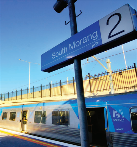
There are a range of modes of transport available to suit you and your lifestyle.
Train
The Mernda line runs from Melbourne CBD to Mernda, stopping at Keon Park, Thomastown, Lalor, Epping, South Morang, Middle Gorge, Hawkstowe and Mernda. This line provides a direct link between the CBD and and different areas within the City of Whittlesea
Mernda train timetable and line map
Tram
The Route 86 trams runs from Melbourne CBD to Bundoora.
Plan your trip
Road
- Hume Highway: This major arterial road runs along the western border of Whittlesea, providing multiple access points into the area.
- M80 Ring Road: Crossing the southern part of Whittlesea, this road offers east-west connectivity with several entry points into the city.
- Plenty Road: Extending from Preston to the town of Whittlesea, this road passes through Bundoora, Mill Park, and South Morang.
- Yan Yean Road: Running north-south, it connects to Gorge Road and further north to Doreen and Yan Yean Reservoir.
Bike Paths
The City of Whittlesea offers approximately 860km of off-road cycling infrastructure, made up of on-road, off-road and informal cycling routes.
You can explore the area via the excellent cycling path network, designed for all skill levels.
View the Whittlesea BUGS maps here